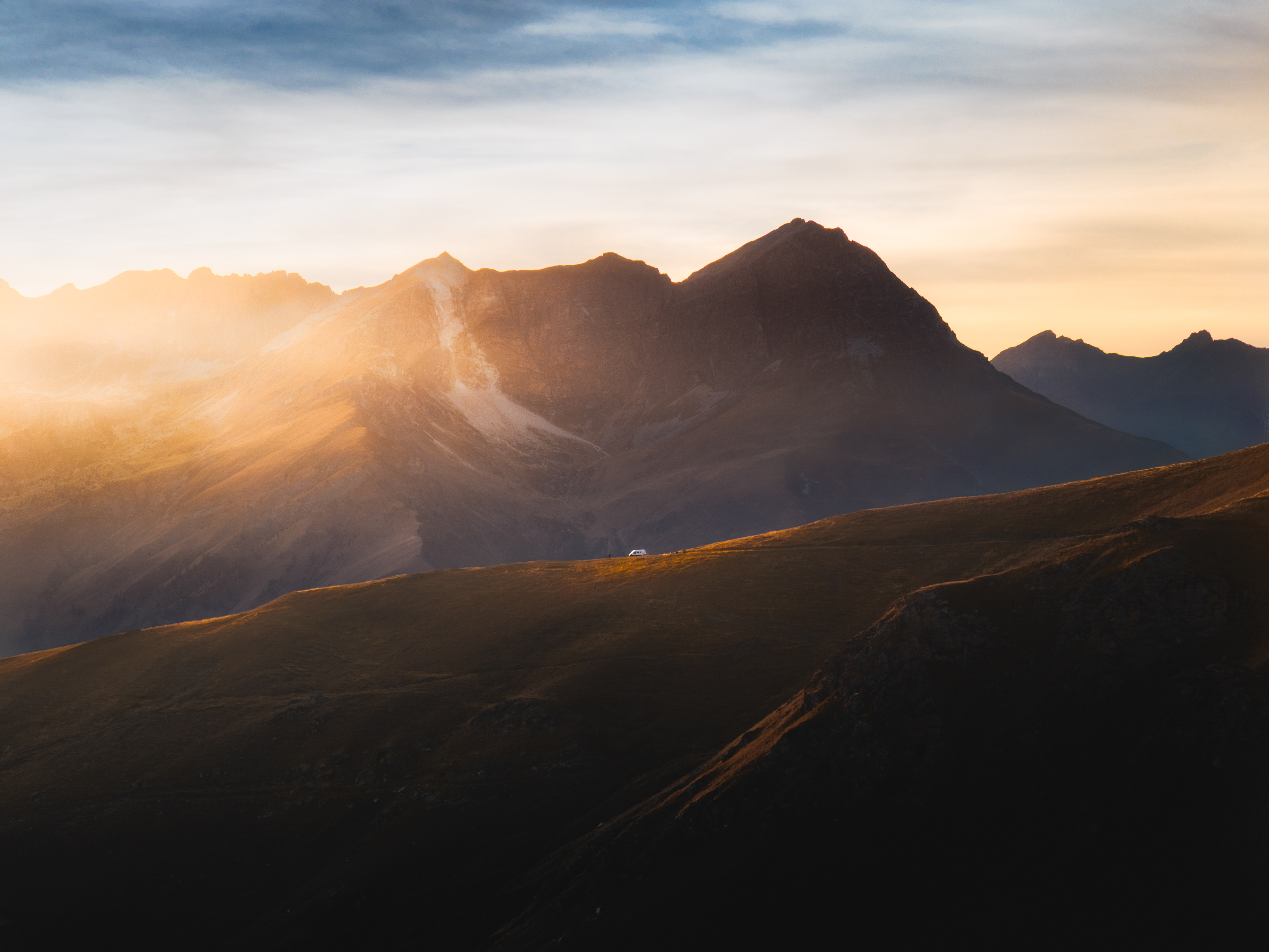
Self-portrait of a weary bike traveler at the onset of golden hour, as yet unaware what fortune and misfortune await, as gravity slowly filters his water
“I never go for a walk without my bike” is a line that surely plucks all kinds of different strings in the memories of any bicycle traveler - thanks to Bob Harrison of the Rough Stuff Fellowship for that one. Wandering through the wilderness on a bike inevitably entails encountering earth that cannot be biked over - to be sure, some of it can hardly claim to be able to be hiked over either. Some of these "walks" are short lived, some are long; most of them - once the sweat has dried, and the mountain’s silence has swallowed all the swear words that needed venting - pass unremembered. Some, however, live on and become stories, for their undertakings sear themselves in the traveler’s mind; and the scars of the terror that swelled in the blood and bones of the hapless wanderer linger long after the body’s superficial wounds have healed - though surely, in hindsight, it's all a laugh. This is one of those stories.
The morning of July 11th I awoke, cozily hammocked along the lazy and, owing to a dry summer, shallow Greenbrier River. For the last day and a half, I had been moseying up the heavenly Greenbrier River Trail - an old rail line converted into a seventy-eight-mile hiking and biking trail stretching from Cass to Caldwell, West Virginia with a few towns, Marlinton being the largest, speckled in between. The trail winds down south with the river’s flow through spectacular Appalachian forests (less all the rhododendron) at a two percent grade (which is a most gentle uphill if going northbound, towards Cass, as I was). The riding of the two weeks that I’d been traveling prior to meeting up with the River Trail involved - in an exhaustingly repetitive cycle I might add - either granny-gear-mountain climbs, or careful-not-to-boil-your-brake-fluid descents, for the mountains of Georgia, North Carolina, and Tennessee are the tallest of all the Appalachian range and the invention of well-graded roads seems to have not taken off in those parts. The mountains of Virginia, granted, gradually became less steep, but, as I have written about earlier, their ridgelines were dry as a desert, excepting the odd mud puddle, and I was often very thirsty.
But, thanks to the ingenuity of the old rail companies who helped to so efficiently exploit mother nature that they essentially ran themselves out of business after having rendered the earth barren of any more resources to exploit - and so a hundred years later the skeletons of their greed have been repurposed into a nice bike path - I was at last granted succor in the form of a flat(ish) trail teeming with marvelous wild camping spots and which was glued to an endless supply of freshwater - I couldn’t have gone thirsty if I tried! It was always tempting to see those sorts of trails and paths as easy miles and crank through the whole thing in a day. But I found it even more enticing to, in the case of the Greenbrier River Trail, milk those seventy-eight miles over the course of an afternoon, a full day, and a morning, enjoying the hell out of them, bathing in the river, jamming to tunes, and doing everything that is much harder to do when the water is scarce or the climbs are so steep that one is in a state of perpetually musing about food. Needless to say, after two weeks of unending mountains with a few close calls with dehydration, the Greenbrier River Trail was absolute bliss on two wheels - as luxurious as it gets for a wilderness bike traveler in Appalachia.
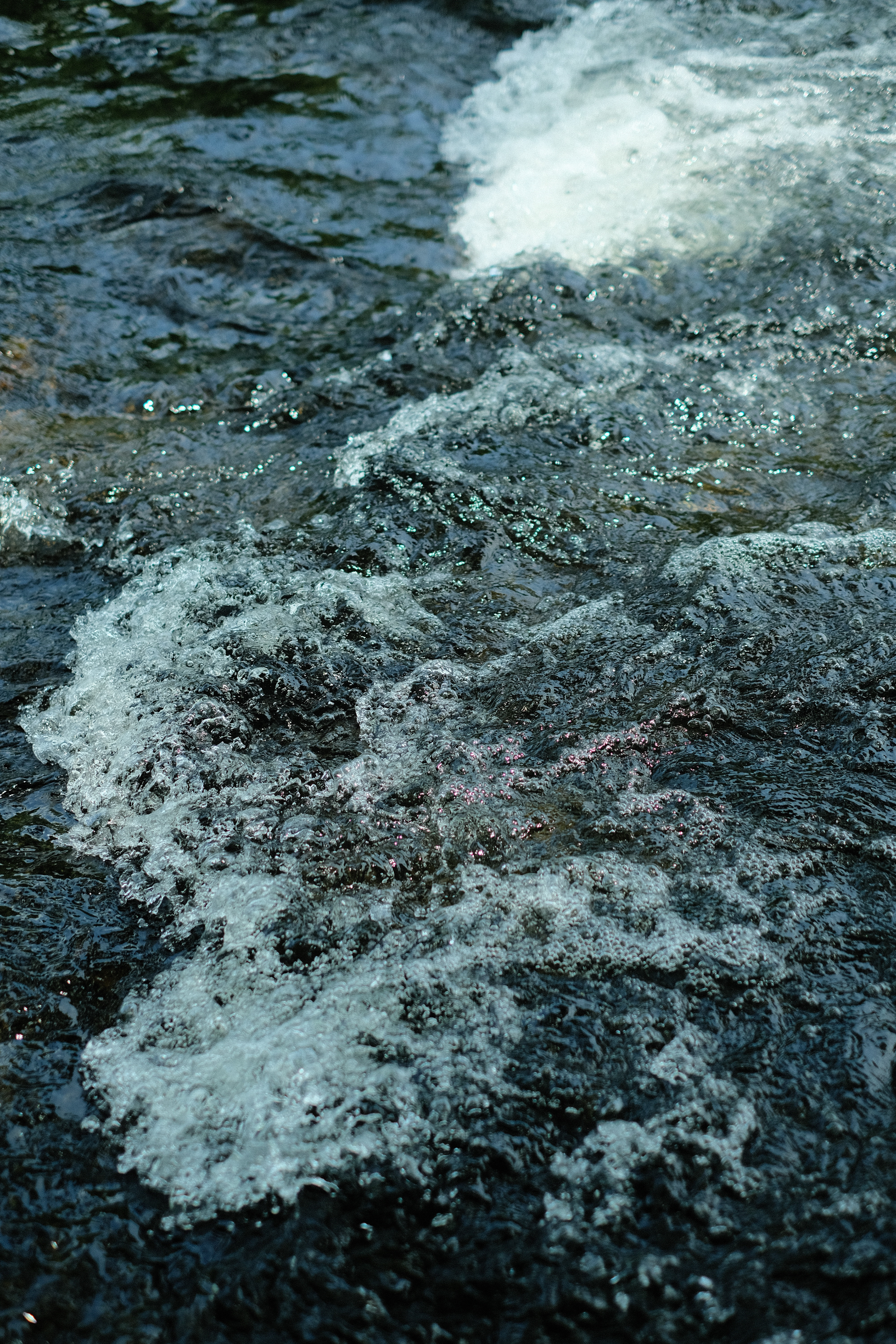
Running water of the Greenbrier River
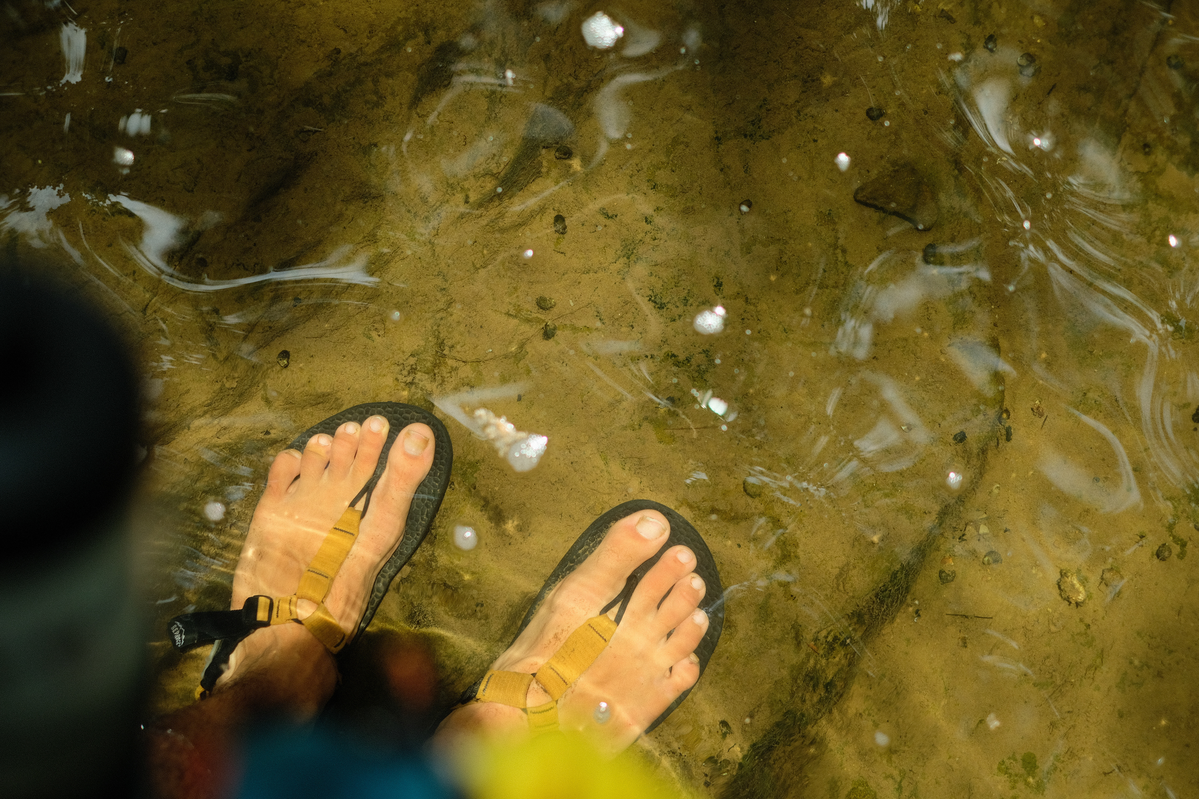
Sandals-clad feet relaxing in the water
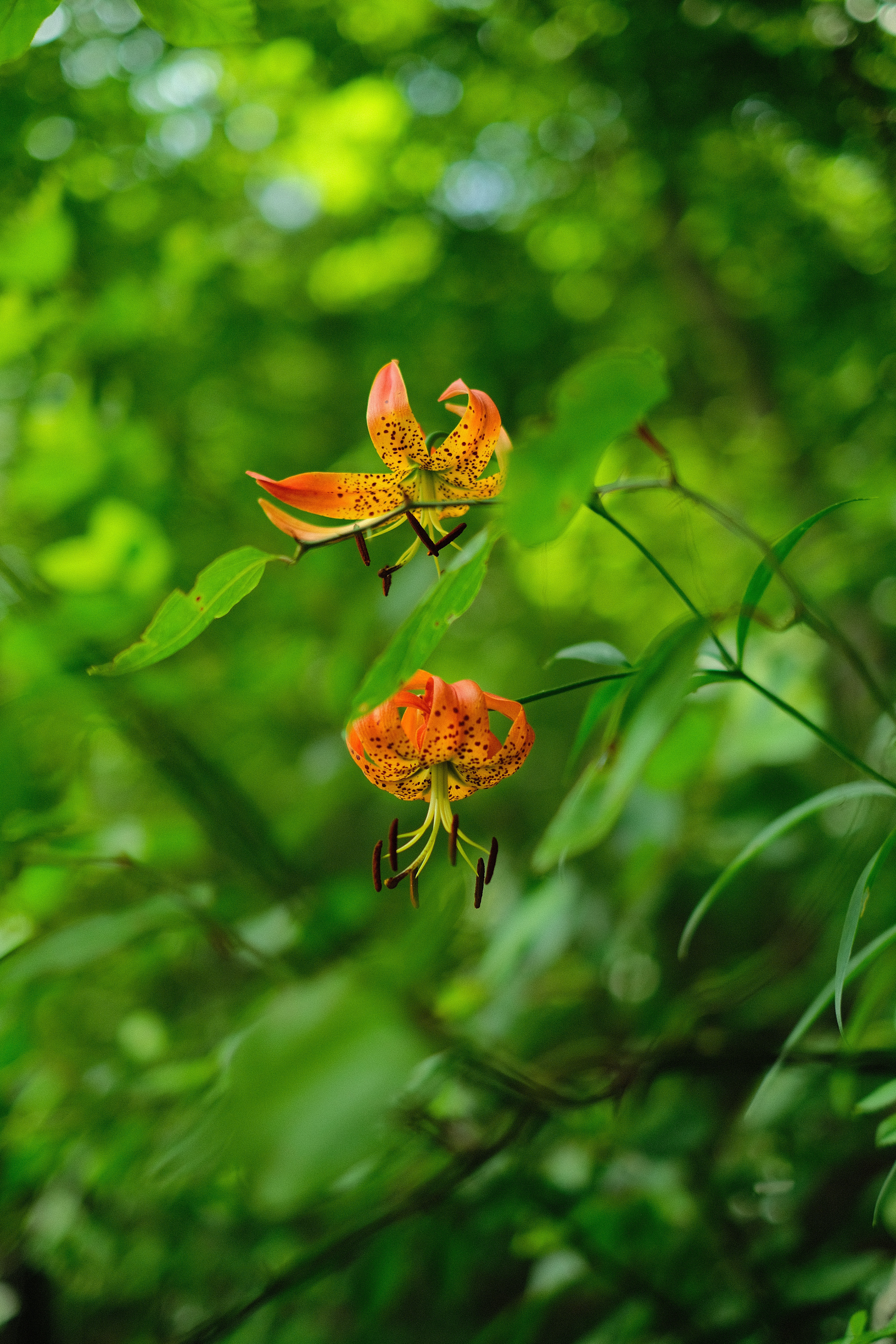
Two orange tiger lilies in the wild
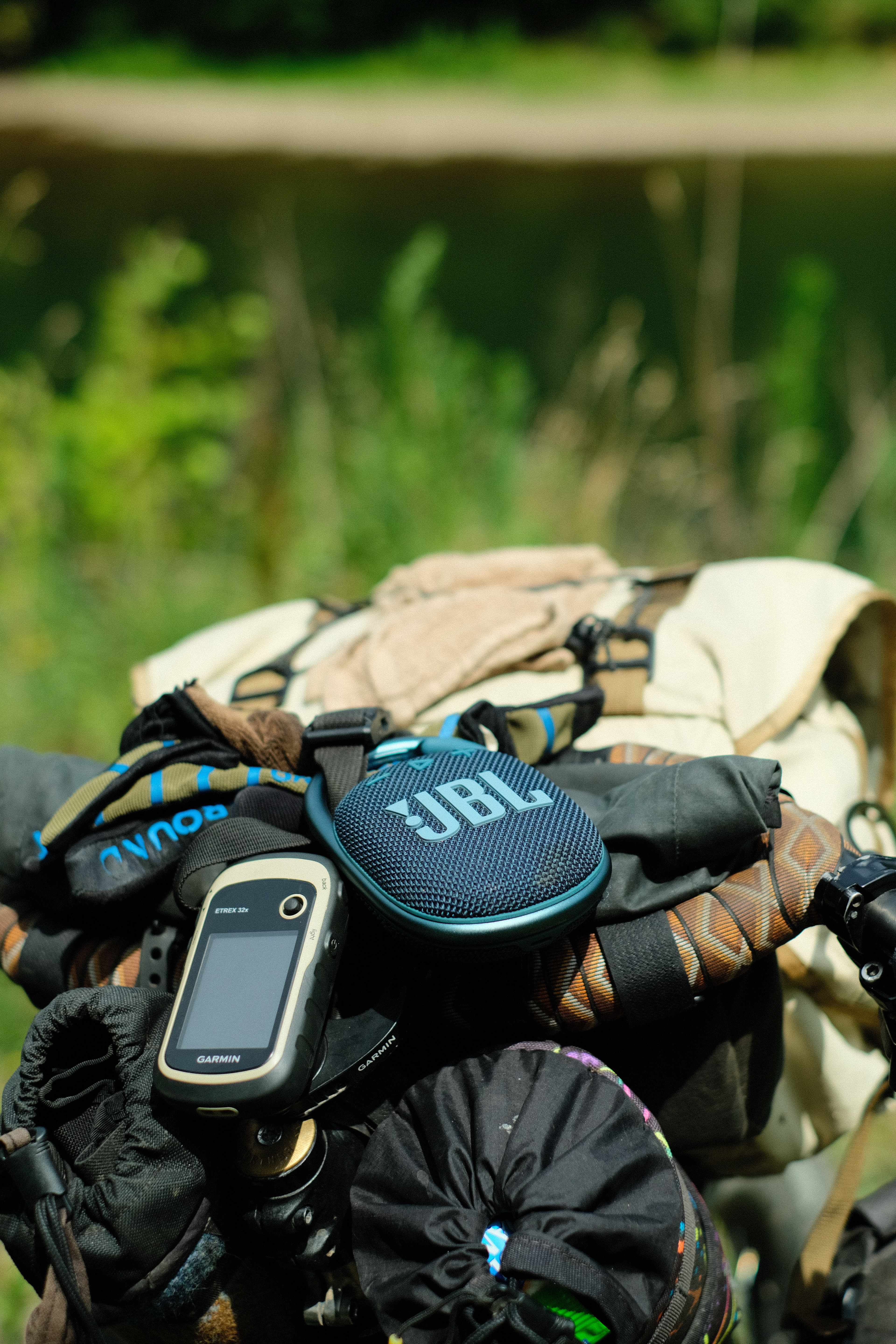
My bluetooth speaker rests atop my handlebars overlooking the Greenbrier River
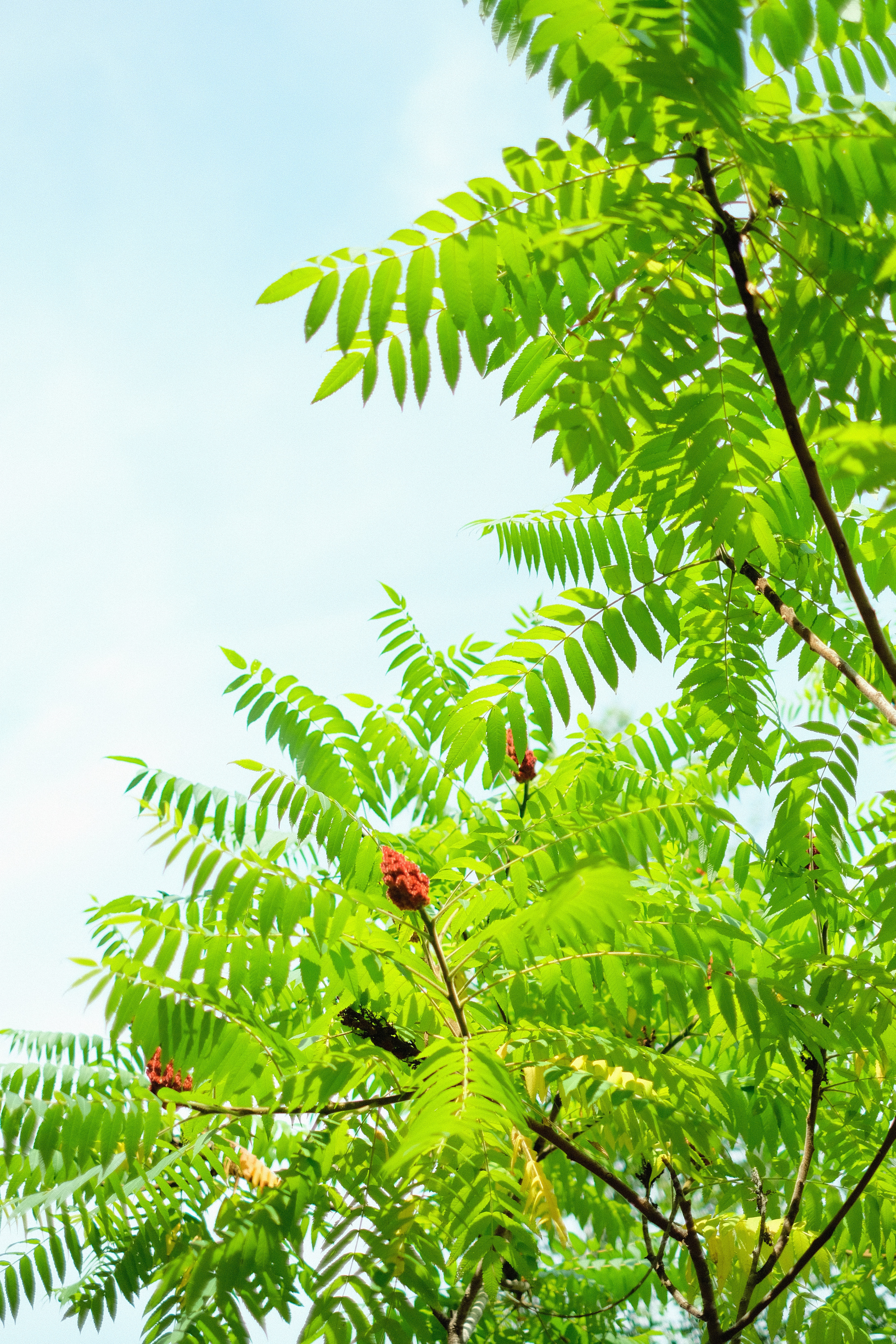
Summer sumac in the sun
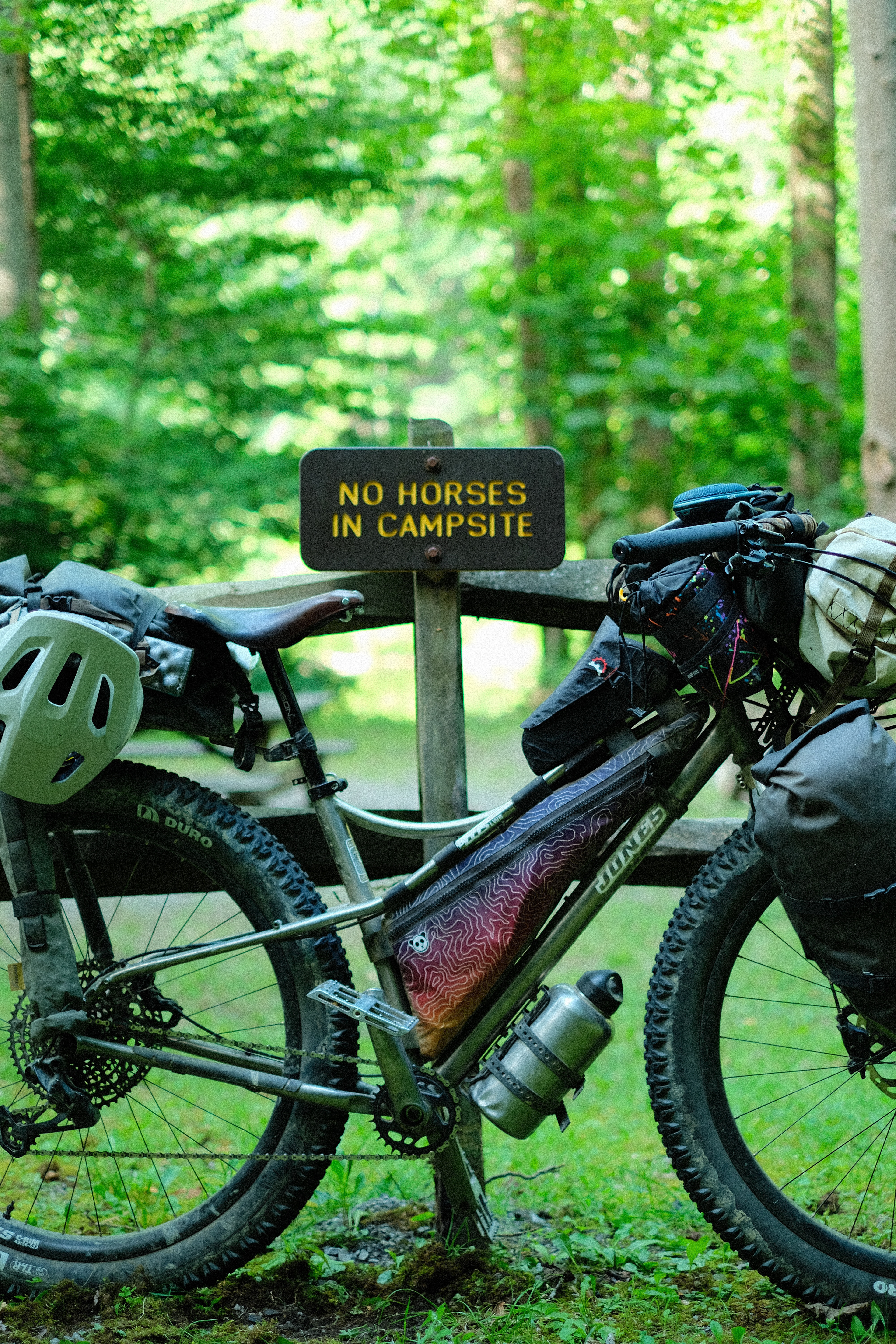
Do metal horses count as horses?
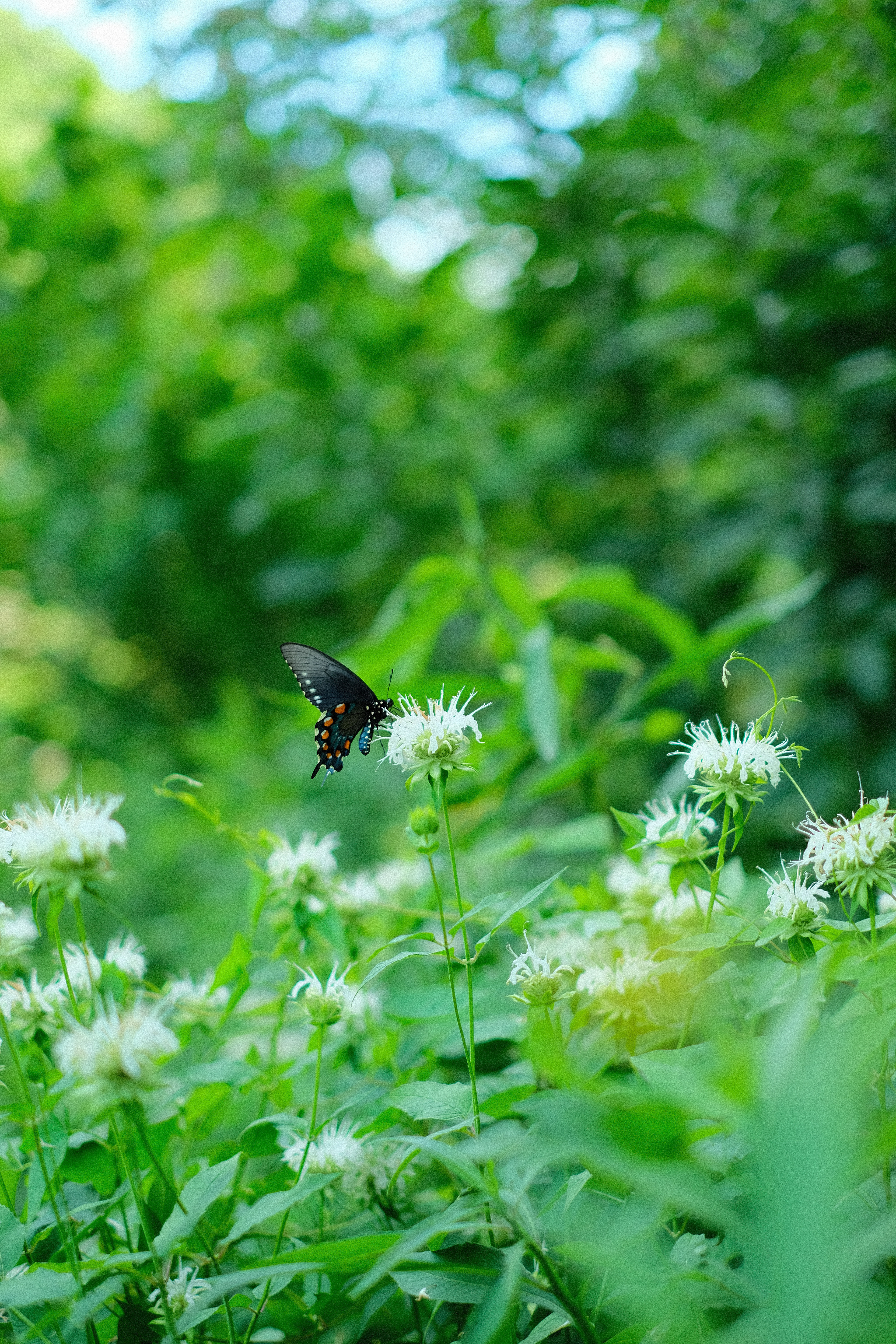
A butterfly feasts on flowers
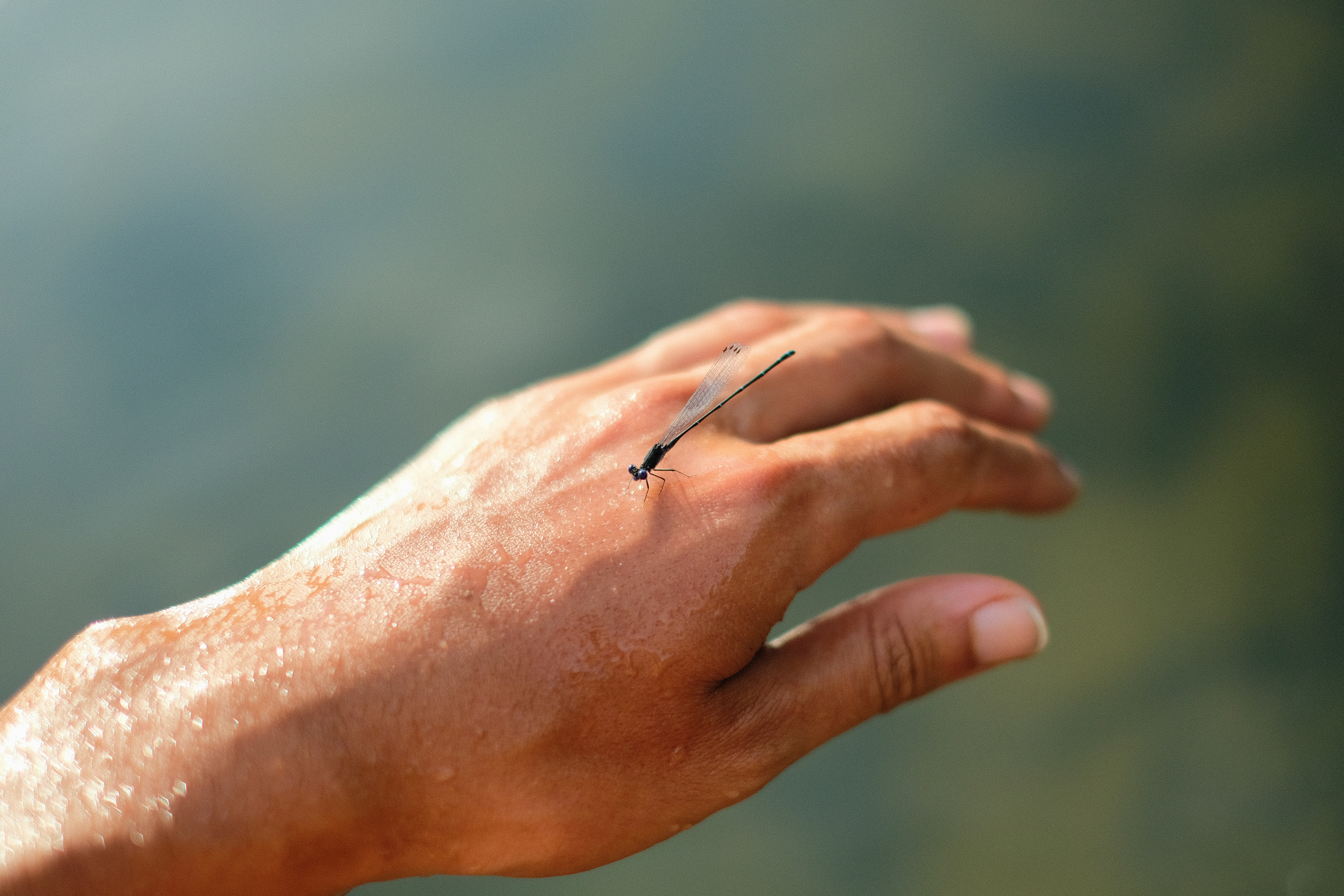
A dragonfly rests its tired wings on my glistening hand
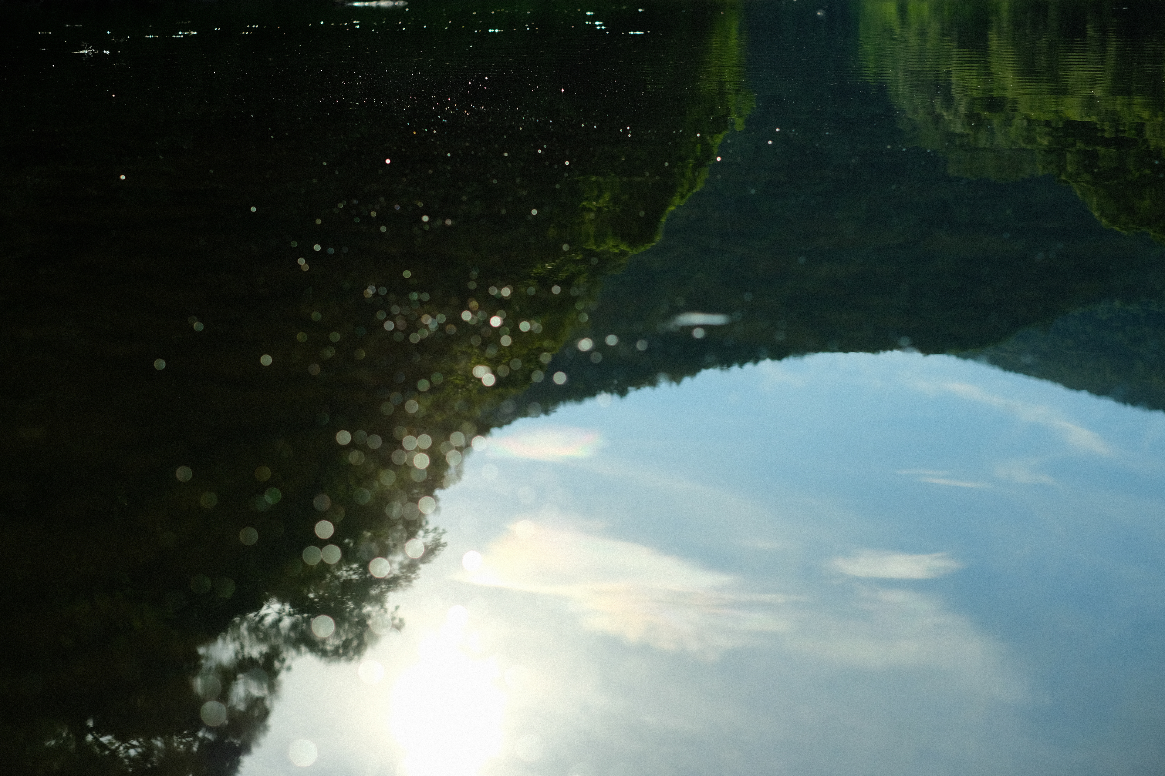
Reflection of the sky and the forest in the river
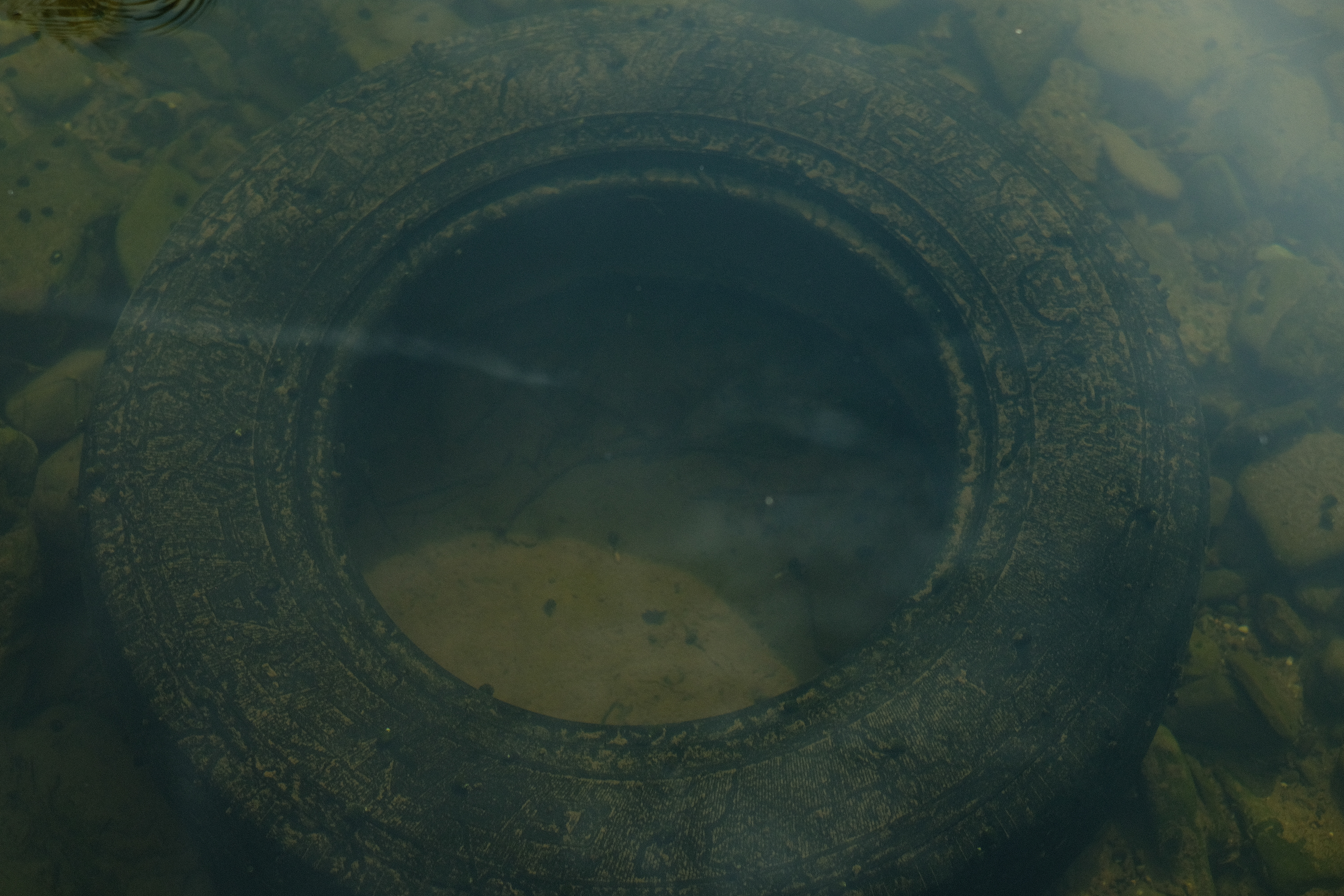
Spare tires hidden in the river
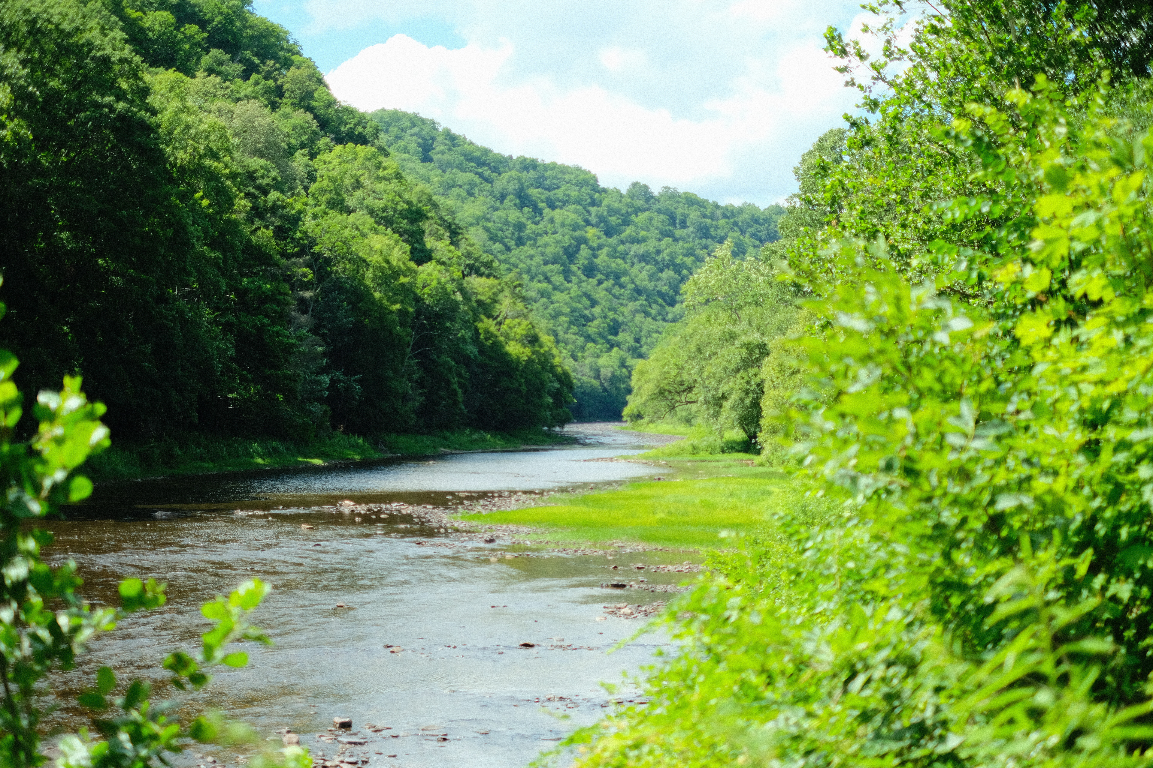
The river in all its watery and forested glory
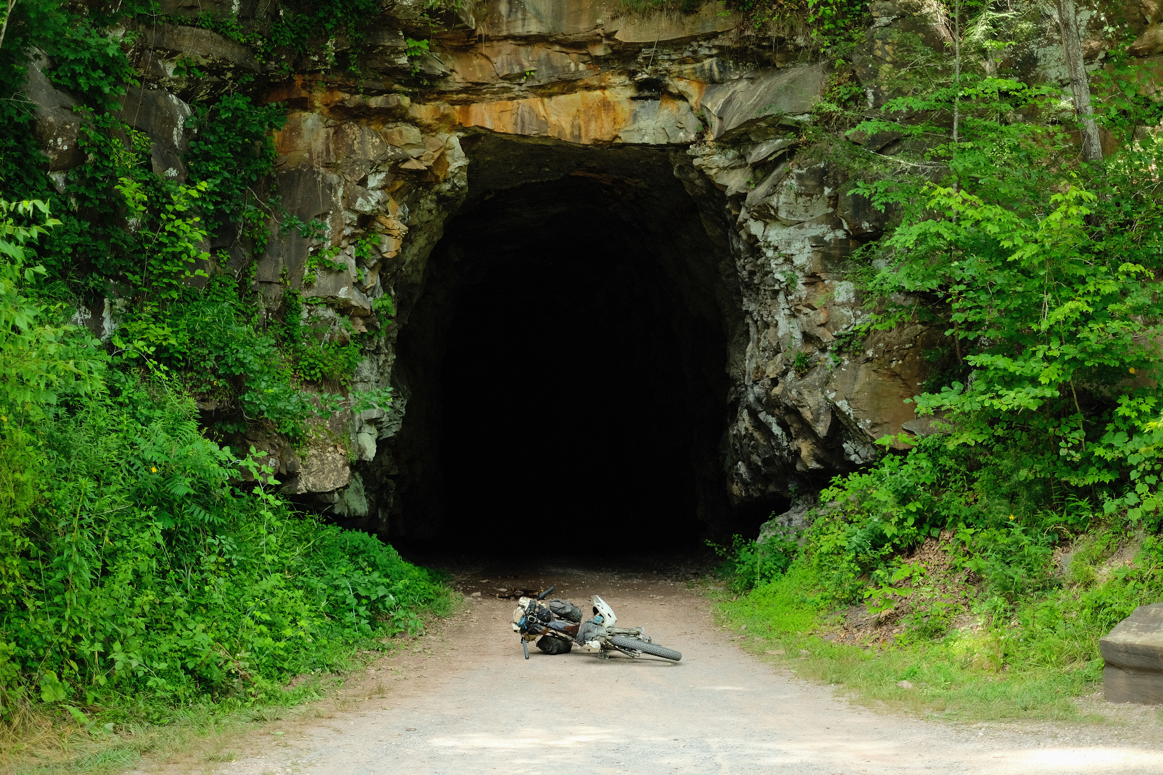
The bike lies on the ground, anticipating a spooky old train tunnel
An old rail bridge over the river. This is the original, hundred year old one
Ten miles later, I arrived in Cass, somewhere around ten in the morning I reckon, and bid farewell to the River Trail. It treated me well, and I ate my breakfast slowly, savoring the remembrance of the good times we had, most especially the memories of abundant water. Back in the thick of it, I climbed 3000 ft up to the top of Snowshoe Mountain which, being the middle of July, was snow-less. After much up and much down on some of the most relentlessly rocky tracks of the whole trip, I reached an unnamed forest road that wound downhill from Bald Knob through the Monongahela National Forest. At twenty-past-five in the afternoon, my mini speaker was blasting Khusugtun and Huun-Huur-Tu (Mongolian Throat Singing groups if you must know) through the wilderness, and I was looking forward to finishing up the last ten miles of the day and getting into my hammock with a full belly before seven. All of a sudden, I spotted someone smack in the middle of the gravel road - with a bicycle nevertheless! Woah!! Both my bike and my Mongolian bangers came to a pause.
“Do you need any help?” I asked. His bike was pointed uphill, and he was stood beside it inspecting his drivetrain. “Argh, I think my shifting is a bit off, but I think it will be fine.” It would turn out that he’d bent his derailleur hanger, which is assuredly one of the more annoying things that can happen on a bike - not readily repairable in the field, but also not generally catastrophic. I had only then noticed - somehow in the first seconds of our interaction it had slipped right under my nose - that he was not merely riding a bicycle, but a bicycle laden with camping gear. “Are you bikepacking?!” I shouted in excitement, for in the wide-open spaces of the United States, bike travelers do not cross paths with any notable frequency. “Yeah, I’m doing the Hellbender section of the Eastern Divide Trail. My mom dropped me off in State College the other day,” he answered. “Oh shit! Me too! Except the other way around and I’m going to New York from Georgia.” “Oh shit!” A brief, awkward silence fell. Sometimes initial verbal exchanges between serendipitously met bike adventurers, especially when distances are involved, can take the tone of a tool measuring contest, even if no one means for it to be.
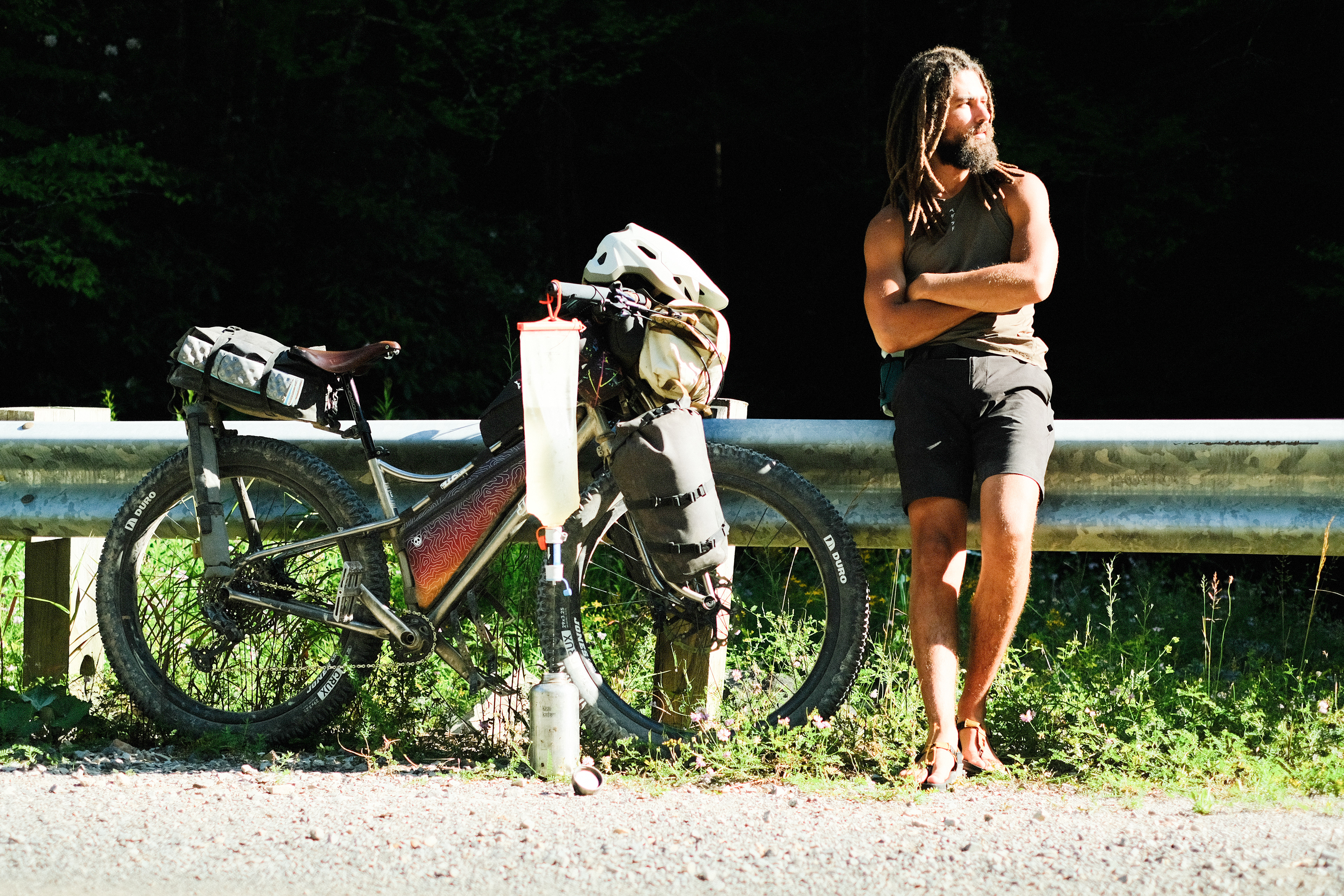
Micajah, he was called, was eighteen years old and this was his first long distance bike and camping trip. Honestly, he looked miserable. “I wake up at five and keep cycling until ten at night. I try to do seventy to eighty miles a day. But I’m not sure if I’m doing this right…” My stomach sank at hearing those words from him. I’m not one to dish out unsolicited advice, but I felt he needed to hear me point out: “You see - I’m out here cycling in sandals, I’ve got these big ass tires on my bike, and I’ve got a camera on my hip that I’m constantly pulling out as I gawk at the scenery. I’m not getting anywhere anytime soon and that’s just how I like it!”
In fact, he reminded me of me when I began to travel off-road-heavy routes full-time (tragically underpaid of course). It is easy enough to become mired and myopic in all the internet literature and the instagrams and the bikepacking races and suppose that this bike travel thing can only be about ‘crushing it’ - that the miles, the elevation gain, and how religiously you stick to the purple line on the GPS are what matter most. Of course, different strokes for different folks, but something told me he wasn’t having a particularly grand time on his first ever bike adventure. “Look, once you get to Damascus” - Damascus, Virginia, home to the Creeper Trail, Jake the bike mechanic, ‘Crazy’ Larry, and Micajah’s endpoint - “there won’t be anyone waiting to congratulate you on how much you suffered to get there. If that’s what you want your trip to be about, go for it, but this is your adventure buddy, so enjoy it!” He said he’d think about that. We swapped numbers just in case he needed whatever limited assistance I could offer - not that we regularly found ourselves anywhere near a cell tower. I heard from him a couple days after that, and he said he was loving the Greenbrier River Trail - just as it should be!
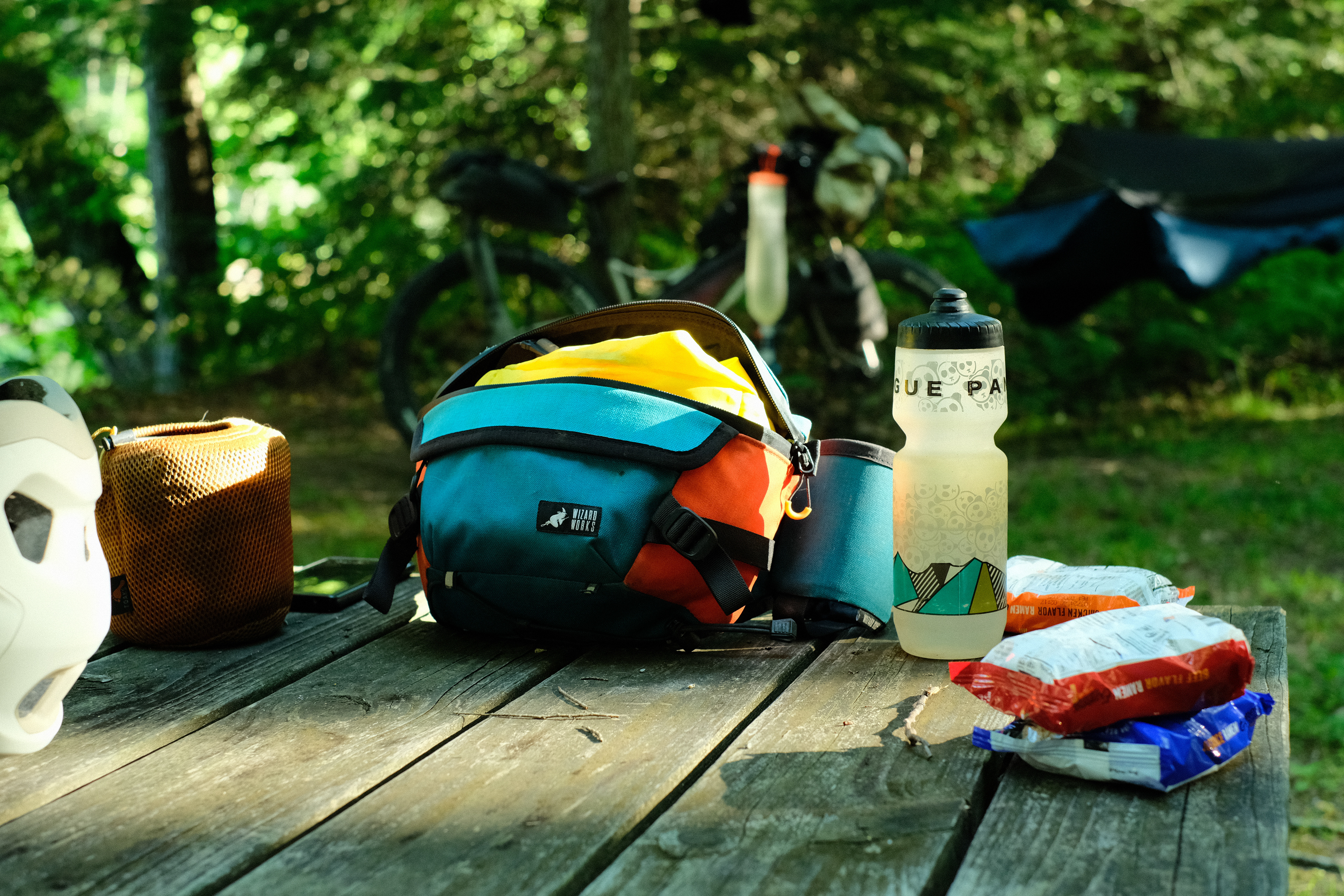
Ramen, cooking pot, and hip bag all laid out, ready for dinner at camp
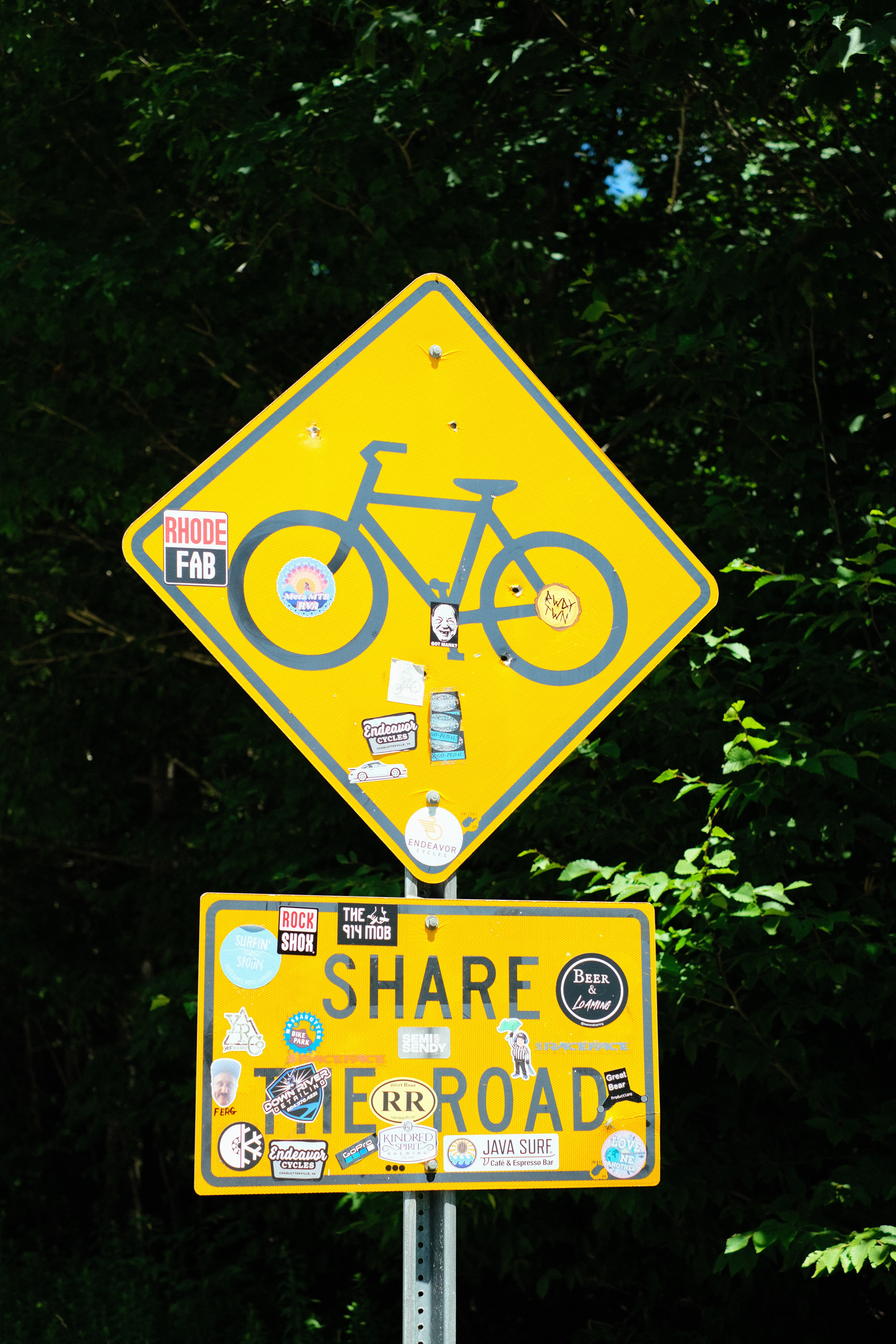
Share the road!!
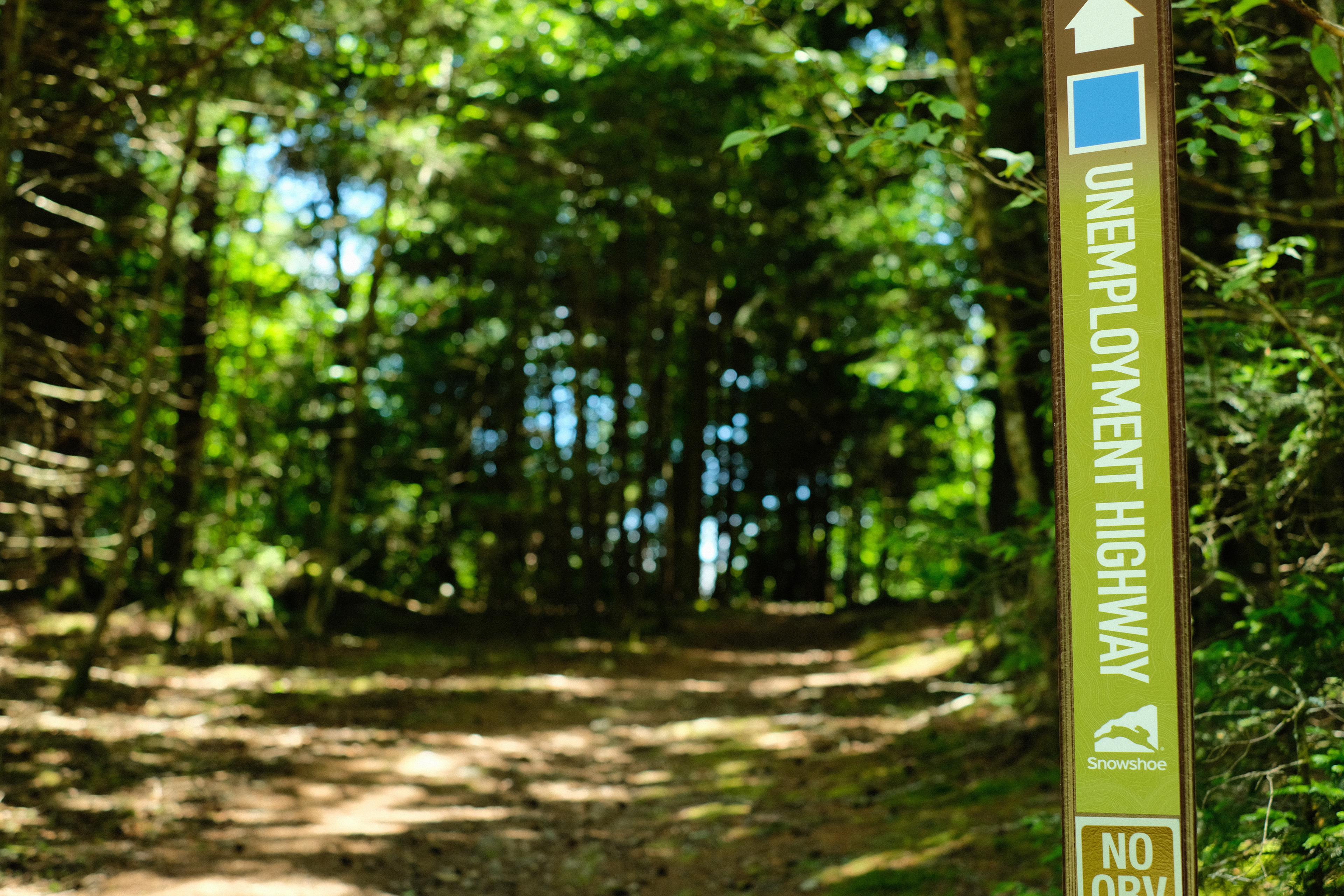
"Unemployment Highway" sounds like a personal attack, frankly
Right before we parted, and after I’d cautioned him to skip some segments of the route in Virginia so as not to risk becoming as dehydrated as those mountains were, he clued me in on a road that I was very soon to meet as I'd need to take it if I wanted to end up at my intended camp spot for the night. “So, watch out when you get to Forest Road 227B. It was a hike in the beginning, but, well, y’know, I think I just messed up the directions.” That was the first time I would hear that utilitarian name - “227B” - before it would forever stamp itself into my memory. “Well on my map it looks like any old forest road… not seeing any way it would be a hike,” I said. And it was indeed marked as any other forest road would be. “Yeah, I probably just took a wrong turn,” he tried to reassure me. Fools! Soon I was to learn firsthand the real reason why Micajah had looked so bloody miserable that late, sunny afternoon.
At the bottom of the unnamed road where Micajah and I wished each other way more than luck, at about six o’clock, I came upon a creek. Having learned my lesson in Virginia about taking running water for granted, and with only six odd miles left until my anticipated camp spot, I parked on the railing of the bridge under which the creek ran and basked in the early, golden-hour glow while gravity filtered the creek’s water into my bottles. Shortly thereafter I came upon River Road which winds about the south side of Barton Knob, eventually connecting with Forest Road 227 completing a long loop northward. Alas, it was not my destiny to reach Forest Road 227 in this probably pleasant, but admittedly roundabout way. No. The purple line on my GPS, as I'd recently been made aware, had a shortcut already mapped out for me - Forest Road 227B, a nearly two-mile long straight shot which would cut out the almost nine-mile River Road to 227 detour, leaving only a few miles between me and my intended campsite. With any luck, I might very well be hammocked by seven and knocked out shortly after.
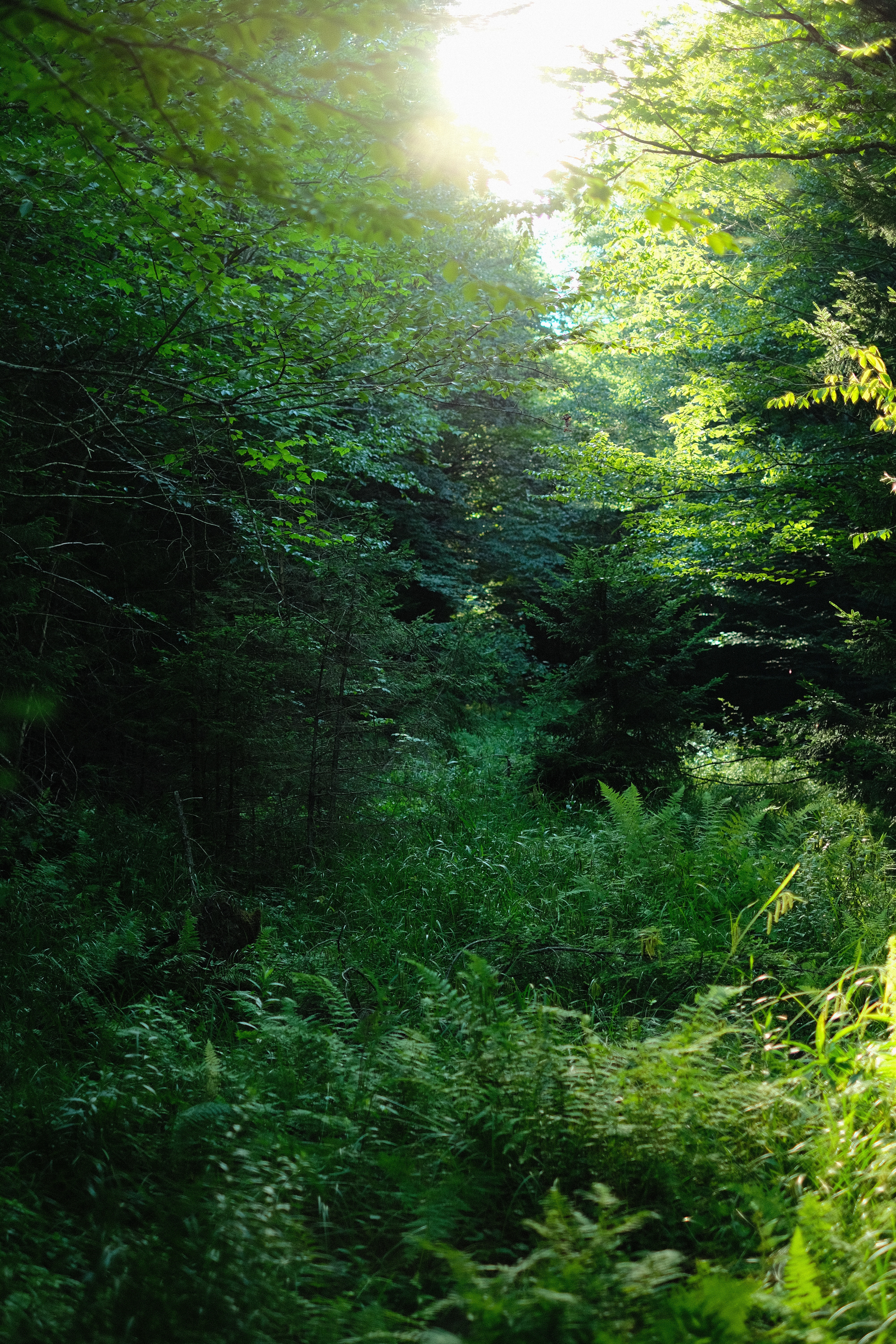
There were early signs something was amiss, but I ignored them until it was too late. At last, I reached the part of River Road where 227B, the promised shortcut, jutted off to the right. Oddly, the turn was sharper and more abrupt in reality than it was on the map, so at first, I missed it. Unfortunate, but not so unheard of as to yet be a sure sign that my doom was hence. I retraced my tracks and found the turn. A forest road, you say? What I then beheld was no road. Sheltered beneath a thick forest canopy, was a faint trail, narrow and cyclable, but a trail nonetheless, and the map, it must be pointed out again, promised a road. I should have taken the hint then! But the purple line assured me I was right where I needed to be. Perhaps the trail would soon morph into a proper gravel road, I supposed. With Micajah’s warning in the back of my head, I was wary to not take any wrong turn as he claimed he had. It was half-six - sunset would be a bit before nine. Into the thicket I went.
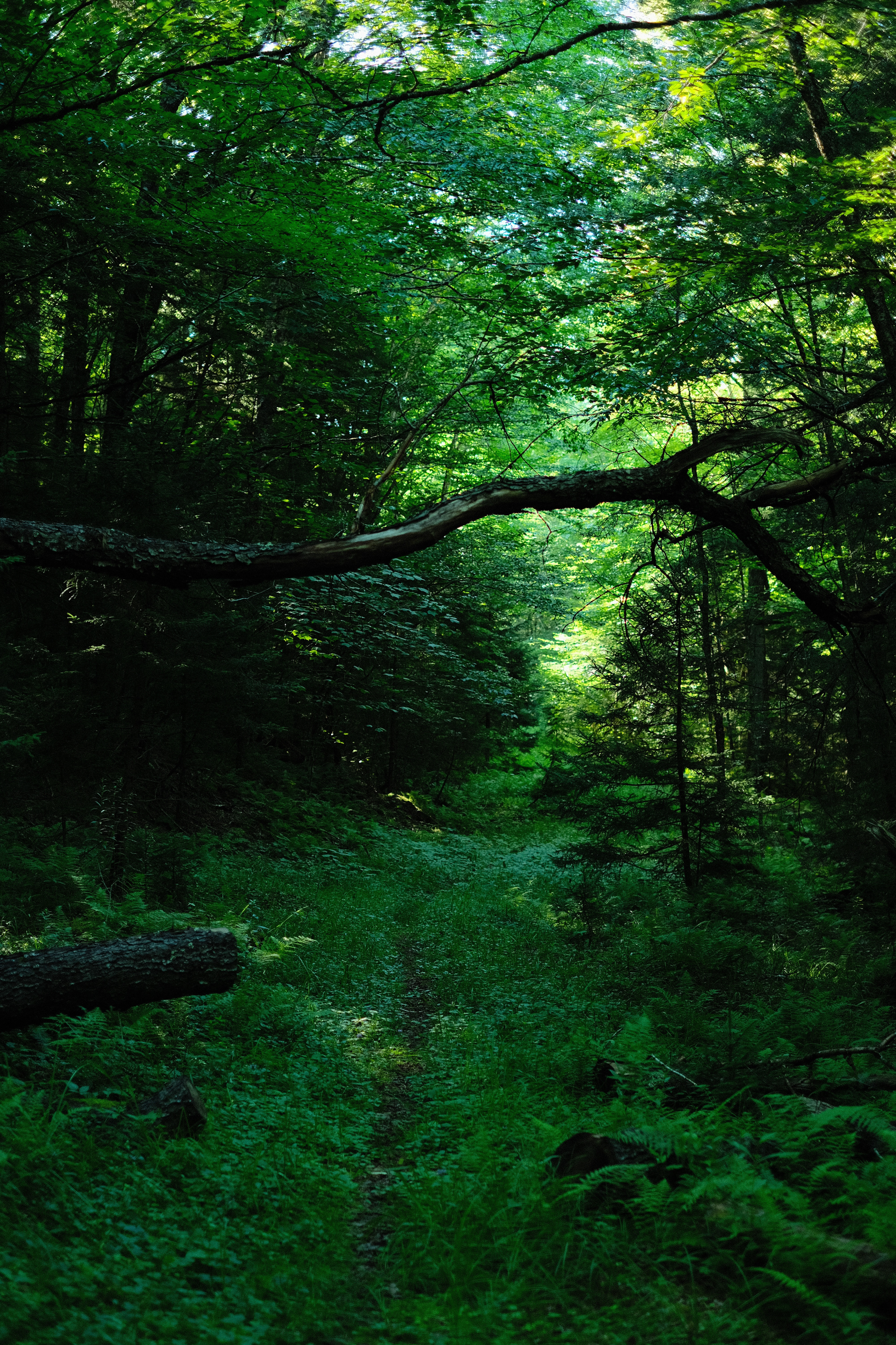
The start of Forest "Road" 227B. Ominous, right?
A tenth of a mile in, the trail suddenly switchbacked, which was definitely not what the GPS had in mind, but alas, I could find no other trail to follow. I traced that sole track up a hillside, distancing myself further from the purple line until I reached a deforested plateau with tree carcasses scattered and piled all over the length of a wide track where logging trucks must have once done their bloody work. On the south side of the track were an assortment of ponds and pools, and in one of which lived a very, very large snapping turtle with eagle eyes that spotted me from ten meters off and hid beneath the muck before I could get any closer. Was this 227B and the map was mistaken? What was that about not taking a wrong turn? I attempted to carry my bike over the piles of arboreal debris but after traversing the second pile with much difficulty, I figured that I ought to scout ahead without the bike just in case this track ended absolutely nowhere, and instead of having to turn around and carry my bike again over each pile of tree corpses, I could do it unladen and thus minimize the amount of swearing that needed to occur.
It dead ended of course. And that track was not 227B. I was way off the purple line, and even though I was at a higher elevation, look as I tried, I could not spot where this darned Forest Road 227B was supposed to be. I turned around, and with some light swearing took my bike back over the first two heaps of dead wood, and back down the trail with my tail between my legs to the point where I had diverged from the unwavering, purple line. Back in the purple, I checked my GPS unit against the offline maps on my phone. By all measures, I was standing right on top of Forest Road 227B. I just had to keep going forward from there. What? But there’s nothing here!
I realized then that Micajah was not wrong about the hiking. He did not take a wrong turn. So I thought two things and concluded another: one, Micajah seemed to imply that his hike was a fairly short one; two, the route loaded on my GPS, The Eastern Divide Trail, was pieced together by people who had (so I blindly trusted) scouted it - and not been stitched together by algorithms determined to kill me as they tried to do twice in the Dolomites - and it was also not designed to be a tremendously difficult, hike-heavy route (I had woken up that morning on a luxurious rail trail after all), so it stood to reason that I would soon find myself on a pleasantly cycleable, run-of-the-mill, gravel road instead of getting caught out in a soul-crushing hike with a fifty pound bike, right? Ah me! A fool’s hope. And so it was that I convinced myself to embark upon what in the end became a long, dejected march into twilight through some dark, swampy woodland of Hell.
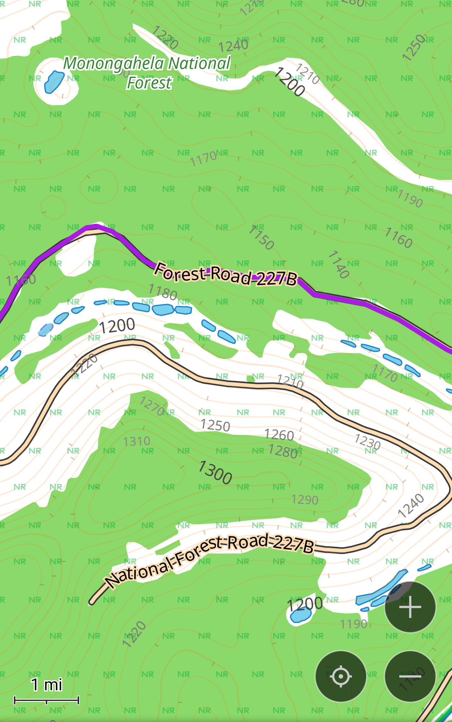
My map which clearly marks 227B as a road. "Road" my ass
When I had journeyed half of our life’s way,
I found myself within a shadowed forest,
for I had lost the path that does not stray.
Ah it is hard to speak of what it was,
that savage forest, dense and difficult,
which even in recall renews my fear:
so bitter–death is hardly more severe!
But to retell the good discovered there,
I’ll also tell the other things I saw. (Inferno, Mandelbaum tr.)
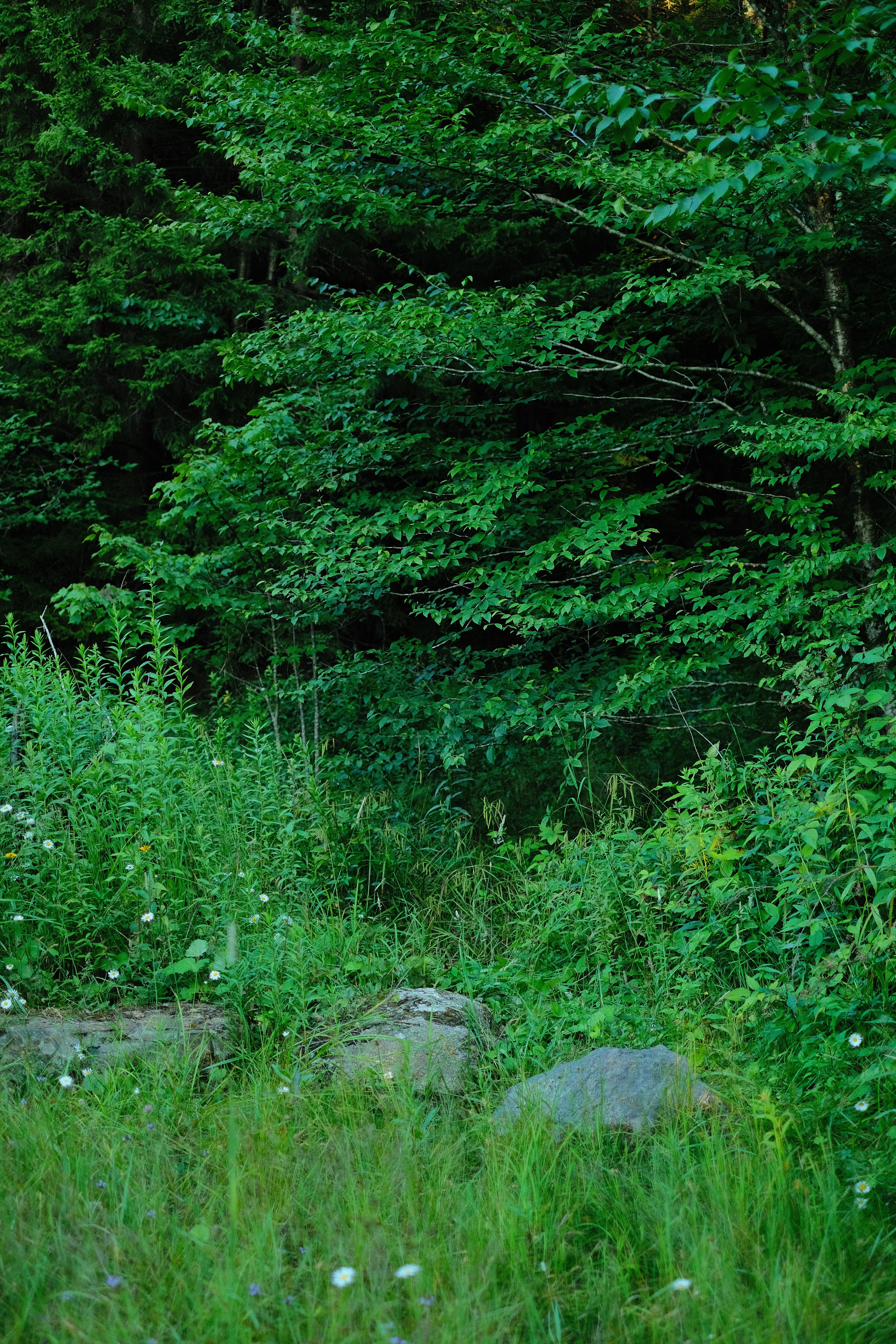
It wasn’t so bad at first, though there was nothing which resembled a path let alone a “road.” Although, while on either side stood an impenetrable wall of green, this certain width of the forest was devoid of any mature trees, and in the contrast, one could just make out the outline of a road, or rather a road that had been long, long ago. I pushed on through the brush, ferns, and tall grasses. Thick trunks of dead trees lay strewn all along the way as if they were gargantuan branches that had fallen from some melancholy, titanic tree of death which had relinquished its lifelines to the sun. The “road” wasn’t steep, nor was it flat. It was lined with ruts and trenches formed by rocks and boulders which bounced my bike all around, and when they were hidden beneath moss and brush, tripped me up many times. It was booby-trapped, I thought - the “road” had it out for me.
It would all be over soon, I was sure, hoping against hope that the gravel would not be much farther along. Alas the conditions and the swearing (particularly at whomever had ostensibly scouted this part of the route), had begun to worsen. The brush grew taller, the boulders grew bolder, and the ruts and trenches began to fill with a swampy bog, which got progressively deeper the further on I went, and which stank of iron. This was no longer a hike; this was proper bushwhacking with a bike. At a certain point it became impossible to see where I was stepping. Would my foot land on a fallen tree? A rock? A copperhead or a rattlesnake? No one could say for certain, but at least a rattlesnake would warn me in advance.
Somewhere along 227B, before it got worse...
The light in the western sky grew hazier and warmer as the golden-hour glow slowly diminished towards an invisible horizon. But, imprisoned in the dense forest, the light was so dim, the sun may as well have already set. Adrenaline ran high, and I had not yet noticed how many cuts and gashes the trees, brush, and rocks had carved on my exposed legs and sandal-clad feet. I wondered if my only guide, the omniscient purple line, my Virgilio, was as clueless as I and if I was genuinely lost. No, it turned out, or if I was, at least I was in good company. Just ahead to my left in an exposed, boggy rut I spied the cut of a bicycle wheel thinner than mine, my first clue that Micajah had come this way. There was no wrong turn. The cartographers, and route scouts, and probably the satellites, too, had conspired to lead us and our bikes of burden to a miserable, swampy end. I figured that this derelict road must be laughing through its mycelial network, how two unlucky fools with their bicycles each fought their way through this god-forsaken boggy, woodland on the same day. It was too funny not to laugh at. What a jokester was 227B!
I checked the map. I’d gone one mile in one hour. By then I’d given up hope that 227B would ever become an actual road, but it was too late to turn around. I was halfway through with only about a mile left until I reached Forest Road 227, which, for the sake of morale, I had to hope would offer a more authentic gravel road experience. An hour of daylight remained and the thought of bushwhacking through this prickly, sodden, stinking nightmare in the darkness was too unpleasant to seriously consider. I had to get the hell out.
The next mile passed more or less the same as the worst bits of the first. A few times more I spotted Micajah’s tire tracks in the bog and was consoled by our mutual misfortune. Every now and then, the brush grew to shoulder height. My legs kept getting dinged up, not that I could really see as they were caked in a reddish brown, iron-stinking muck. Sometimes when I hoisted my bike over a fallen tree, the front wheel would then slam straight into a well-placed and well-angled boulder and the rear of the bike would spin along the fork’s axis and smack me in the bum. That was icing on the boggy cake. That really ticked me off. I wondered in what other circumstances in my life I had shouted “FUCK!” with such fiery passion and such volume.
Almost at the end, I came upon a fork in the “road.” Surprise, surprise, it did not appear on the map. Left, or right? It didn’t diverge sharply enough to be able to tell immediately on the GPS which was the right way. It was 50/50. I chose right. After five minutes of shoulder-high brush and ankle-deep bog, I awakened the GPS from its slumber and was promptly informed that I had in fact chosen wrong. Ugh! I looked for a way to shortcut left through the trees instead of having to backtrack. Again, I leaned my bike against a tree and scouted ahead alone. I had taken only a couple of steps into a small clearing before I found my left leg completely submerged in bog. And then, for some odd reason, my right leg, too, became completely submerged in bog. Oh, now I’ve done it! Tragically, the legs could not get themselves out. Fortunately, a thick, fallen branch gingerly floated atop the slightly more solid ground where I had been just a few steps before I found myself thigh-deep in bog and I was able to pull myself out of that peaty tomb. Following that harrowing mess-of-a-situation, I had started to wonder what I’d have done had the thick branch not been there, but quickly resolved that it was not worth pondering over as it would only upset me more, and then decided that I would go back to my bike and retrace my steps in shame all the way back to the fork in the “road.”
Some more bog, cuts, and curses later, a silence filled me as I spotted, just several paces ahead and for the first time in two hours, a real-life gravel road. It was Forest Road 227 at last! And, conveniently, a small, clear stream trickled across the very end of 227B, a miniature River Styx perhaps. I rinsed the irony muck and droplets of blood off my body and my clothes - most of it came off anyways. With one last push I was finally on 227. I looked behind me. You couldn’t make this stuff up. The entrance to 227B looked like nothing at all. There was no semblance of even a singletrack trail like there was on the other side. It was just a wall of brush, as inconspicuous as any other roadside scenery. Jeez. Had I come in from this way, I would have turned right the hell around - or so I told myself. Though it spoke nothing, its unremarkable, sinister silence may as well have screamed: lasciate ogne speranza, voi ch'intrate, “abandon all hope, ye who enter here.”
The secret entrance to Hell
The cojones of Micajah, and on his first bike trip too! In the understatement of the century, he passed it off as a “hike,” but it was one of the top three worst “hikes” with a bike I have ever had the displeasure of being involved in. It didn’t make the top two only because there was no risk of falling down a sheer cliff face four hundred feet into an Alpine riverbed. Better luck next time 227B!
It was half past eight, with mere minutes until the sunset, and I still had to go a mile up the road, up to the top of Barton Knob to get to my spot for the night, hoping that once there, the amnesia of sleep would whisk me to a dimension far, far away from the likes of 227B. But the day would not end so quietly, not yet. Under the light of the last rays of the midsummer sun, there was still much excitement to be had.
At last, I spotted my spot. But it was already claimed. Blast it! Two gentlemen were strolling down the road towards me - Tommy and Buzz it turned out. “You’re up here on a bike?!” Not so keen on a long exposition, I hinted that I’d just been through hell and back and asked if they'd seen any other camp-worthy spots around. I told them I was fixing to camp where they already were, but I didn’t dare ask if I could pitch up with them at their site, as I had tried that the night I’d been without water for five hours and was told to get lost. Not again, I swore, not when people are carrying guns out here. But it turned out Tommy and Buzz would invite me anyway to camp with them for the night. “We’ve got our friend up there though, and he’s with his girlfriend and kids, so ask them first, but tell em we sent ya and it’s cool with us.”
“Excuse me,” I timidly whispered into the twilight breeze, directed at the first person I saw. “Excuse me!” I said a bit louder but no more confidently. I was out of sorts to be sure. 227B had rattled me. I was miffed, to put it lightly, and tremendously exhausted. She turned around from whatever was holding her attention in the bed of her truck. “Hey, Nicole, right?” is what Buzz told me her name was. “I just spoke with Buzz and Tommy and…” I fumbled over my words trying to explain how I had found myself in this situation of asking to camp with them, trying also not to sound like a lunatic who gets off on bushwhacking with his bicycle until dark. “Could I just pitch up my hammock over there?” I pointed to a patch of pines a little way off from the small field where they were set up. “I’ll be gone first thing in the morning,” I assured her. Technically I didn’t need anyone’s permission. It was public land after all. But again, when in America, one must be mindful of guns! “Yeah, that’s no problem,” Nicole replied.
Enter stage left: a heavyset man with glasses, a salt and pepper goatee, a bowler hat, and, most notably, sporting a chest holster supporting, on either side of his gut, two loaded pistols over a shirt that, in all caps, proudly proclaimed “SELF DEFENSE IS NOT ILLEGAL.” Nicole explained the situation to him and asked for his input. Perhaps he was offended that I had not consulted him first. He looked at me and then, slowly ambling towards me, in an Ohioan accent and with a half-serious tone said, “Yeah it’s a free country, I can’t stop ya.” He paused a beat. “But” he continued on as he gestured towards the loaded guns strapped to his torso, “I do gotta protect my family… so don’t do anything freaky!” I had never felt so confused and threatened at the same time. Freaky? With hardly an ounce of energy left in the reserves, all I could muster in response was a slow and exasperated, “Dude, I’m just a bike traveler.” I’d thought to hightail it back to the road and keep on looking for another spot, but it was nearly too dark to see anything and I’m not sure I could have pedaled any more even if I had wanted to. "I'm just messin'," he spoke, most unconvincingly.
As I was setting up my hammock (a bit further away from the group for good measure), Tommy and Buzz returned at last from their sunset stroll and I overheard them wondering if I’d come by. Cowboy, for that was what they called the bowler-hat-wearing gunslinger, pointed in my direction. Buzz - a tall, gaunt fellow with a long, white, tied-up beard - waved. I waved back. I was too tired to get a fire going. Dinner was looking to be a hearty helping of dried mango slices and peanuts. But before I began to indulge myself in such sumptuous feasting, I went back to the road in search of a cell signal. Nothing. Half of the way back to my hammock, Nicole stopped me, “Are you hungry?” With those three words my heart melted. “We’ve got a barbecue going, hamburgers, hot dogs, chips, and coca-cola. Help yourself!” To be invited into camp, then threatened, then invited for an All-American barbecue, and all that after 227B - what a whimsical evening! I was hungry, but too tired to be too hungry, so I ate what I could by the truck as I fielded questions from them all, especially Nicole’s exceedingly curious older son Jordan, about life on a bicycle.
As the last light of dusk faded and the crisp night air took on a chill, everyone gravitated, as people have done for millennia, towards the campfire - all except Cowboy who stayed sat across from me by the truck as we unhurriedly finished the crumbs off our paper plates. He was a long-haul trucker by trade from Ohio. They were all from Ohio. He, Buzz, and Tommy, were members of their town’s biker gang and, it turned out, they were here on a journey of their own. Cowboy’s mother passed not long before. She asked that her ashes be spread by the water, though which water that was was left up to him and to his brother, who lives in Alabama. They decided that the water would be the Chesapeake Bay, and they would meet there, halfway between them, and spread her ashes together. And so, Cowboy, on his motorbike, joined by Buzz and Tommy on theirs, with Nicole and her kids in the support truck, were ferrying his mother’s ashes on the long road from some town in Ohio to the Chesapeake Bay, pitching their camp each night along the way. And our journeys briefly crossed atop Barton Knob beneath the stars.
The both of us moved to join the rest of the company by the campfire. More questions were asked. More stories were told. Cowboy told a particularly riveting one where he ejected the magazine out of a cop’s holstered pistol and one-by-one flicked the bullets into his face after the cop threatened to shoot him for trying to pour water on his old house as it, like the fire we were all sat around, blazed in the dark.
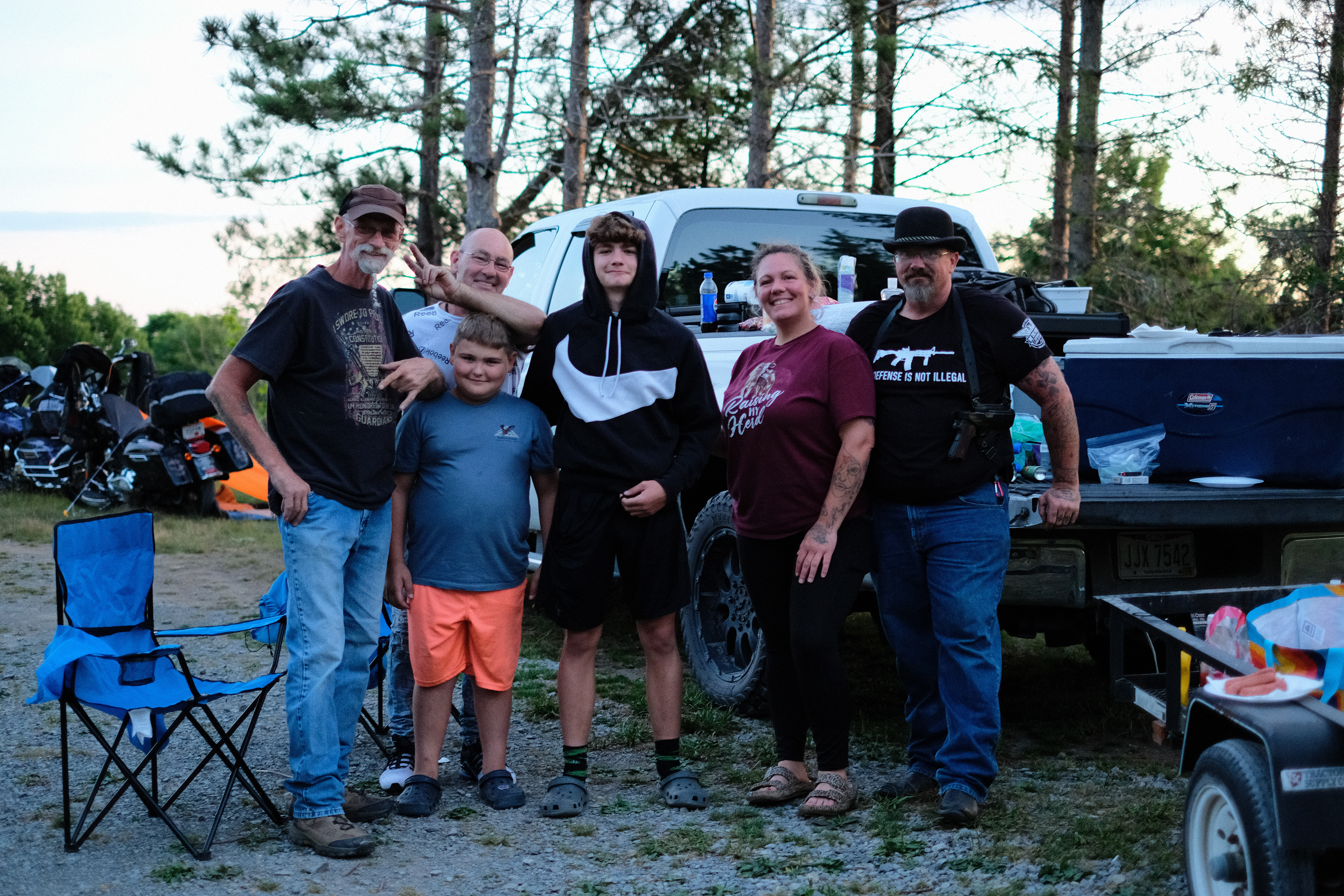
The Ohioans posing behind Nicole's truck
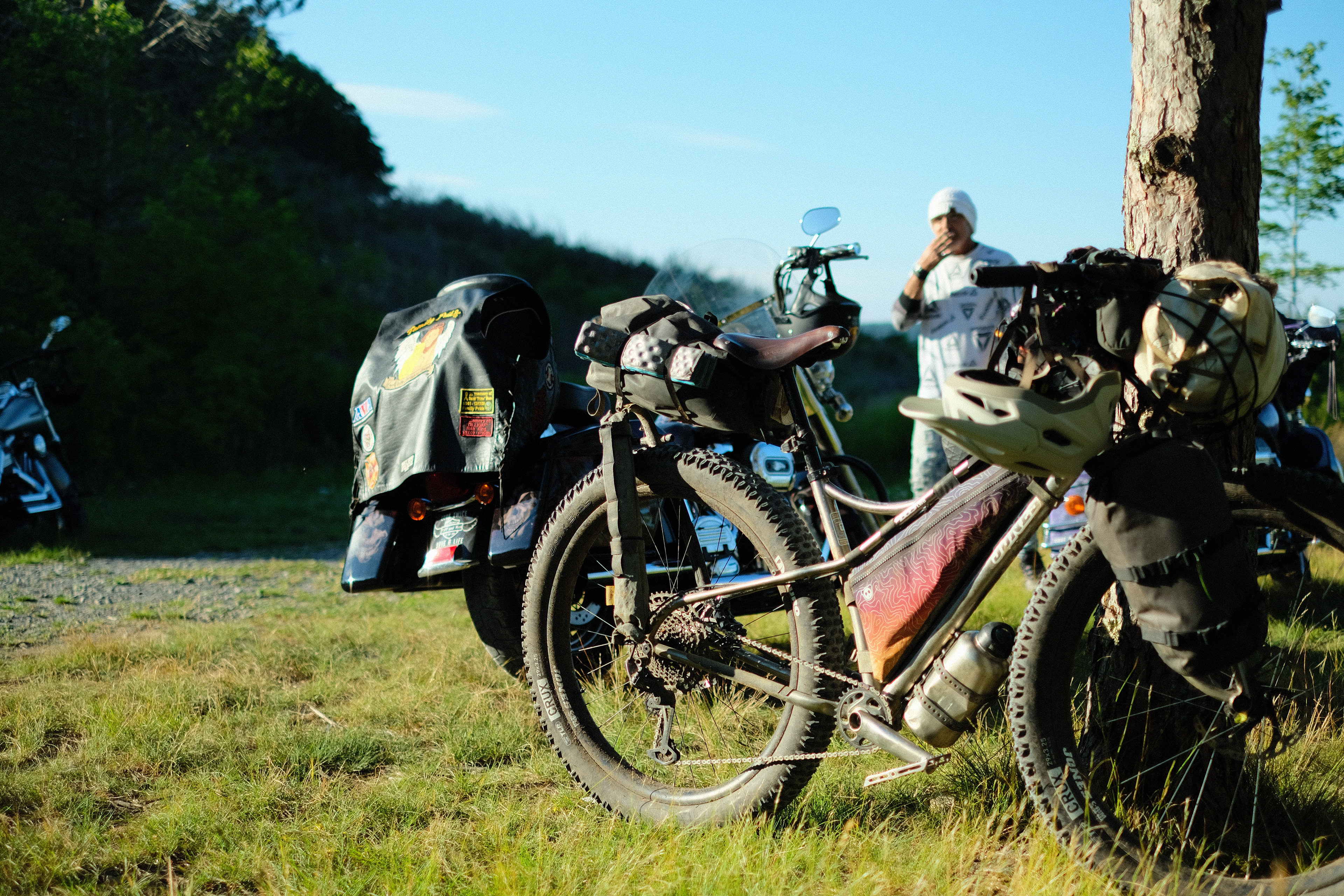
Bicycle and motorbikes prepping for a farewell
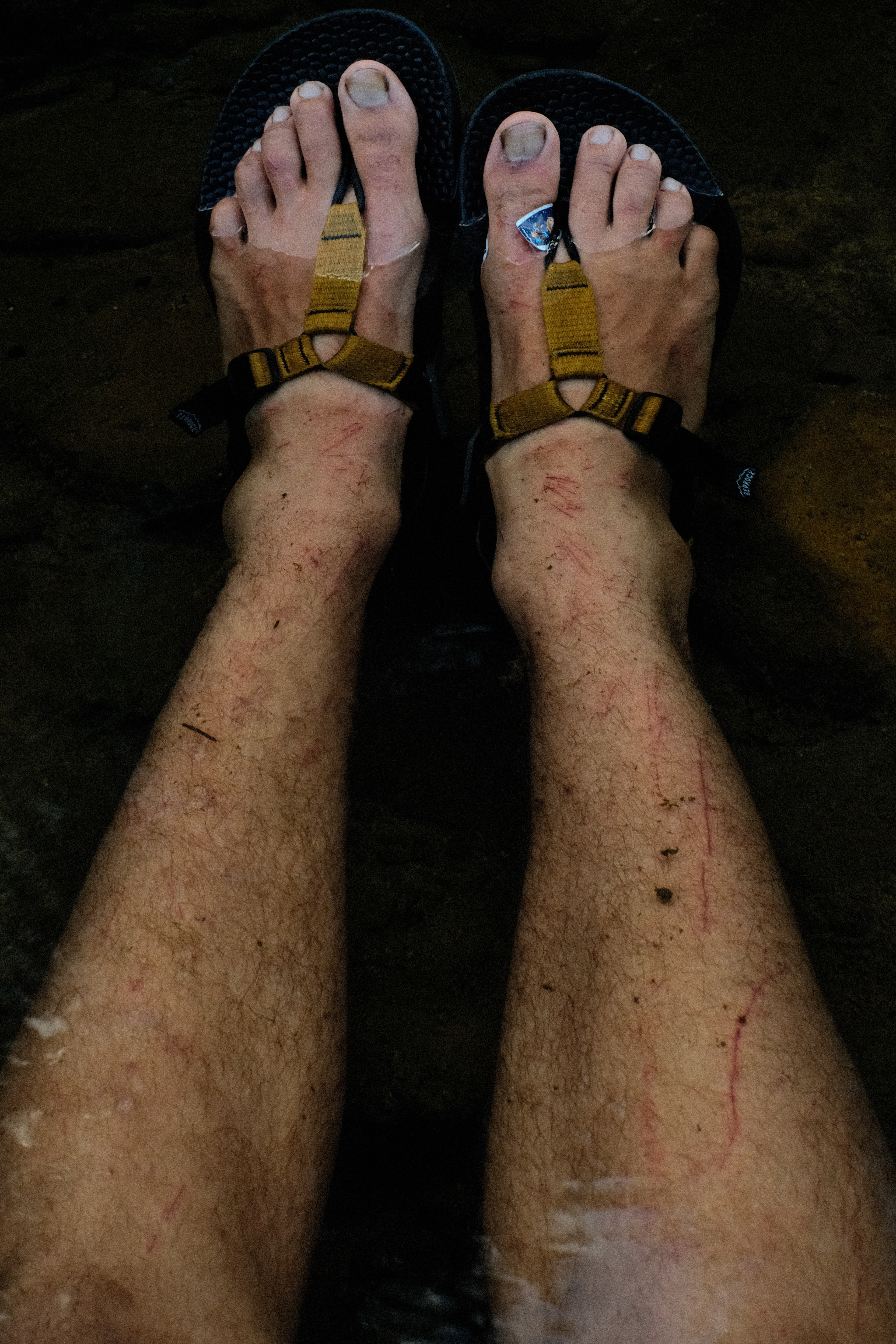
The fleshy scars of 227B
In the morning, I would smile in surprise once I learned that Nicole had cooked breakfast for me. Words are never enough to express the feeling when a stranger gifts you food that they have taken the time to prepare for you. Breakfast devoured, photos taken, emails exchanged, and last laughs laughed, we parted ways on that cloudless July 12th morning. And then I made for North, down to Beverly, where I would happen upon one Norm Carr outside the Dollar General and inherit the teachings of the thimbleberry. But that is another story for another time.
Thanks for reading!